How To Get There
BY BUS
An hourly bus service – the G Bus - runs from the city centre to the Historic Quayside. From 25 May this service will be run by Country Bus who will take over from Stagecoach.
| HAMLIN GARDENS - THE QUAY Via City Centre | |||||||||||||||
| ROUTE: HAMLIN GARDENS, Hamlin Lane, Hanover Road, Ladysmith Road, Commins Road, Pinhoe Road, Blackboy Road, Sidwell Street, High Street | |||||||||||||||
| Fore Street, King Street, Preston Street, Western Way, Lower Coombe Street, Quay Hill, THE QUAY, Commercial Road, Exe Bridges, New Bridge Street, | |||||||||||||||
| Fore Street, High Street, Sidwell Street, Blackboy Road, Pinhoe Road, Commins Road, Ladysmith Road, Hanover Road, Hamlin Lane, HAMLIN GARDENS | |||||||||||||||
| Monday - Saturday (Except Public Holidays) | |||||||||||||||
| HAMLIN GARDENS | 1000 | 1100 | 1200 | 1300 | 1400 | 1500 | |||||||||
| HANOVER ROAD Hanover Close | 1003 | 1103 | 1203 | 1303 | 1403 | 1503 | |||||||||
| CITY CENTRE High Street | 1015 | 1115 | 1215 | 1315 | 1415 | 1515 | |||||||||
| THE QUAY Commercial Road | 1024 | 1124 | 1224 | 1324 | 1424 | 1524 | |||||||||
| THE QUAY Commercial Road | - | 1030 | 1130 | 1230 | 1330 | 1430 | 1530 | ||||||||
| CITY CENTRE High Street | 0940 | 1040 | 1140 | 1240 | 1340 | 1440 | 1540 | ||||||||
| HANOVER ROAD Hanover Close | 0950 | 1050 | 1150 | 1250 | 1350 | 1450 | - | ||||||||
| HAMLIN GARDENS | 1000 | 1100 | 1200 | 1300 | 1400 | 1500 | - | ||||||||
| This service is financially supported by Devon County Council | |||||||||||||||
BY CAR
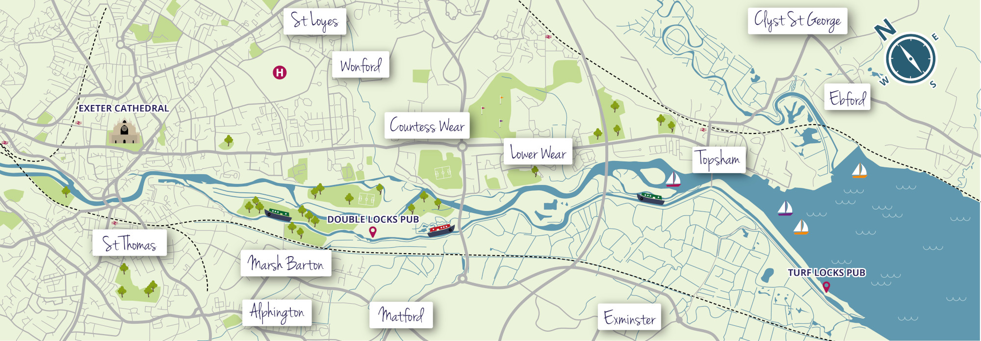
Nearest major road is M5. Along Topsham road towards city centre, at Southgate turn left along inner bypass, take first left and park at Quay and Cathedral Car Park which is a long stay car park open all week from 7:00am to 10:00pm. Both the Quay and Piazza Terracina, which is accessible via Cricklepit Bridge across the River Exe, are a five minute walk away. The opposite side of the River can also be accessed off the A377/Alphington Road onto the Haven Banks Road passing the Indoor Climbing Centre on the right and the Haven Banks Outdoor Education Centre on the left and then via Michael Browning Way to the Haven Banks Car Park. This is a large car park with ample parking.
BY TRAIN
The nearest train station is St Thomas Station which is approximately half a mile from the Quay and which is the closest for the Piazza Terracina side of the River. The main railway station at St David’s is approximately 20 minutes away by foot with a bus service to the city centre.
BY WALKING
There are a number of ways to approach the Quay and Piazza Terracina by foot.
From the City Centre, down South Street and turning right at the bottom of South Street before the White Hart Hotel, and following the signage leading into the underpass beneath Western Way or continuing up South Street and turning right into Western Way then left into Lower Coombe Street.
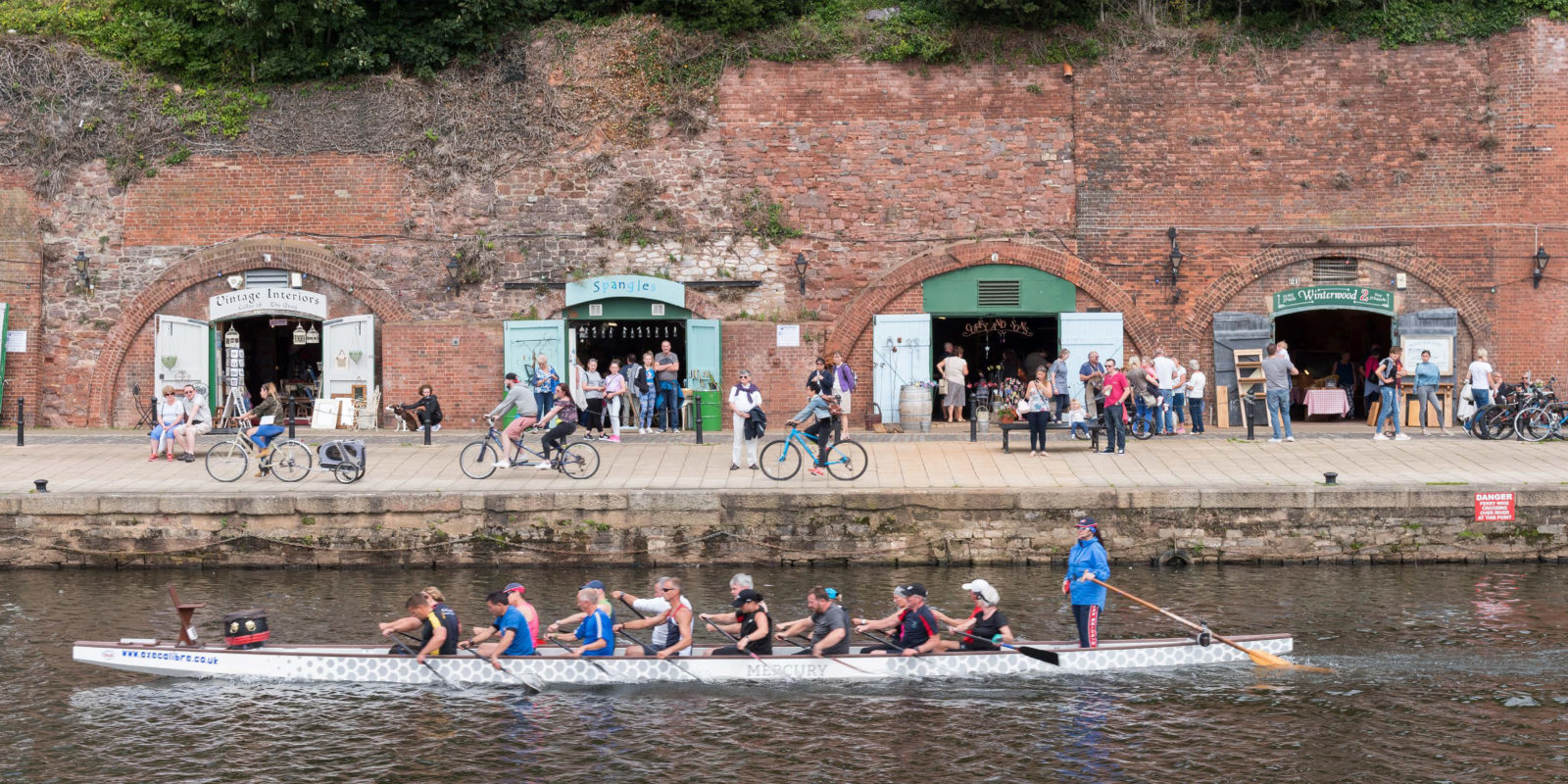
Alternatives are scenic routes along either side of the River. Via the Port Royal Pub which will take you into the Quay past a number of interesting gift shops in the “Quay Cellars” or along the Canal from the Double Locks following the Canal into the Canal Basin at Piazza Terracina.
BY CYCLING
The above walking routes are also accessible by bike and bikes can also be hired on the Quay itself at Saddles and Paddles.
From the Piazza Terracina an official Exeter based cycle route can be accessed, the route taking in the National Cycle Network route 2 leading to the Exe estuary via Salmonpool and Double Locks and crossing the busy Bridge Road and on to the Turf Locks. This part of the route follows the newly constructed cycle/walkway, part of the Exe Estuary Trail.